Breaking news
MEOSS : geospatial solutions for smart territories.

Our vision
Planning territories effectively while respecting the environment

Our mission
Provide innovative solutions to optimize the territory’s policies for public actors.
MEOSS provides solutions combining satellite imagery and local information for local authorities and their delegates.
Created in October 2018, our start-up is specialized in the creation of services from satellite imagery and map data. MEOSS offers operational decision-making tools for the management and enhancement of territories.
THEMES :
Land use planning, management of environmental resources, climate change or tourism.
Our start-up is located at 23 boulevard Victor Hugo, Socrate building in Colomiers in a dynamic incubator on the outskirts of Toulouse.
MEOSS develops solutions based on cross-referencing of geospatial data :
15 years of experience in geospatial projects
Knowledge of how local government institutions works
Specialization on climate issues
MEOSS services are based on personalized solutions :
Online interactive map
Regular updating of geographic data
Personalization of solutions
OUR SOLUTIONS : MONITOR AND DEVELOP DECISION-MAKING TOOLS TO HELP PUBLIC ACTORS

MEO-UrbanGreen
MEO-UrbanGreen identify urban heat islands and revegetation opportunities for public planners, local authorities etc.
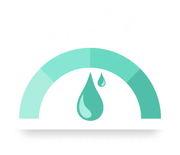
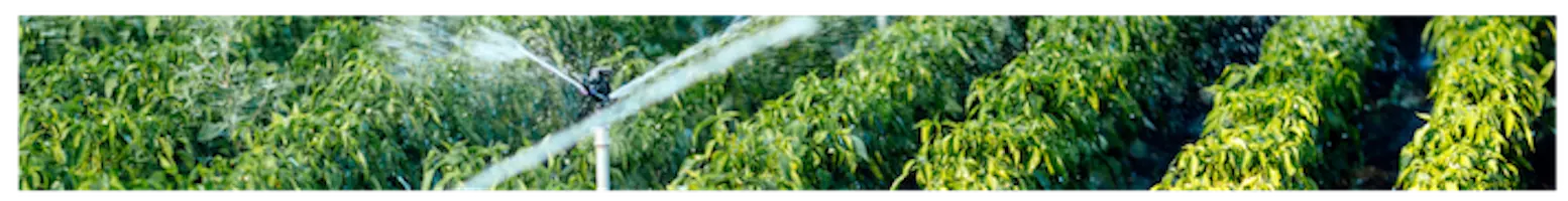
MEO-WaterManagement
MEO-WaterManagement is a range of 3 services on the theme of water for agricultural and water stakeholders.
MEO-CARBON
MEO-Carbon, the carbon sequestration measurement and monitoring tool.

MEO-LANDCOVER
MEO-LandCover, the territorial monitoring and management tool designed for local authorities and other public players.
 (1)")
MEO-AGRI
MEO-Agri, the crop rotation historization and forecasting tool that improves the work and management of technicians.

MEO-WATERRESERVE
MEO-WaterReserve, the decision support tool for monitoring water resources. To better understand the functioning and secure water supply.

MEO-AGRIPRACTICE
MEO-AgriPractice, the tool for measuring and monitoring the erosion sensitivity of agricultural plots.
MEO-GreenEnergy
MEO-GreenEnergy is a support tool for implementation of renewable energy strategies.
Our partners


Our clients
